
It’s been a few weeks since we have told you about our walk, the CMHoL so we are back at it and telling you about Section 11 – Lower Sydenham to West Croydon.
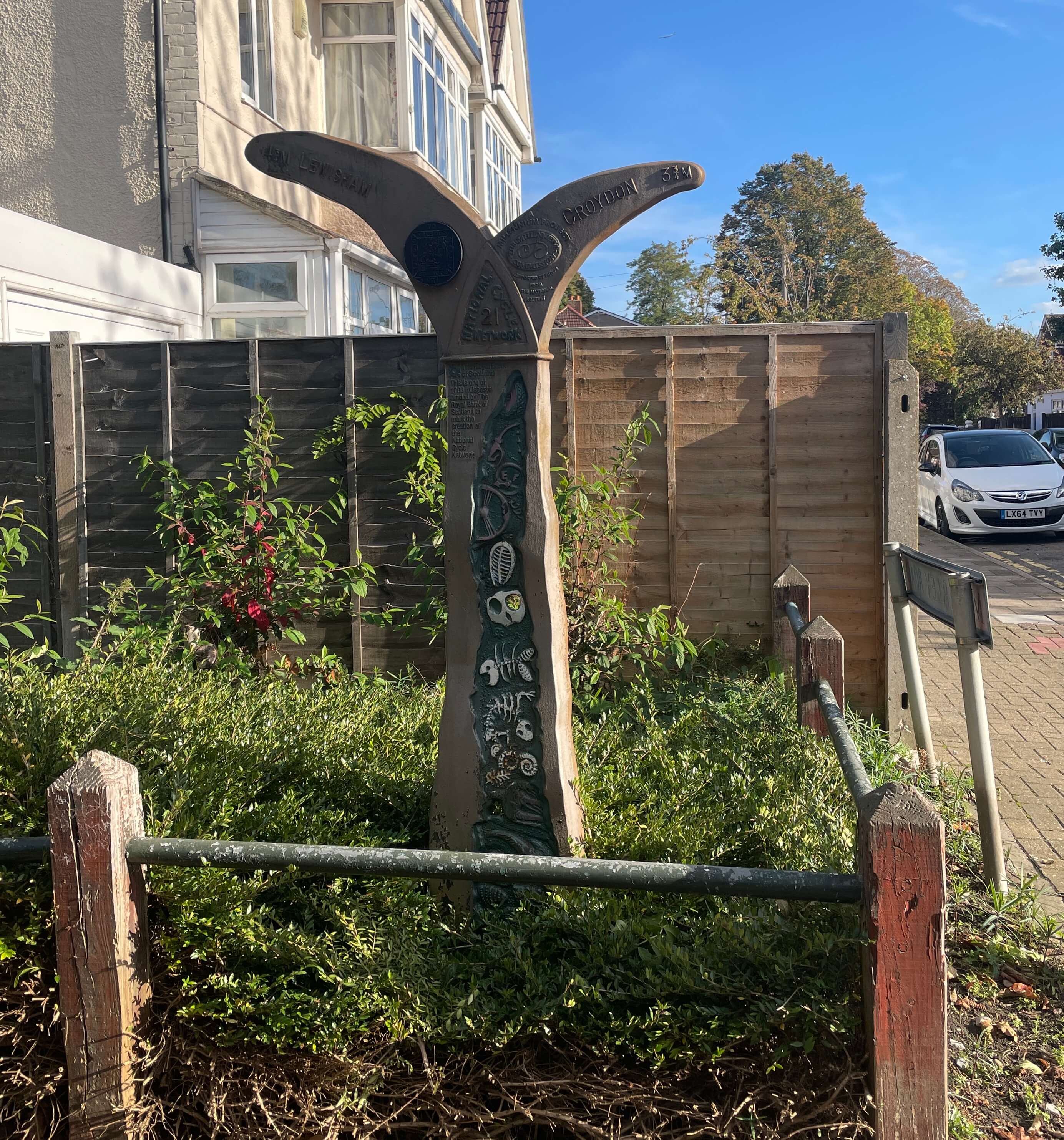
We set off from Lower Sydenham station on a lovely day at the end of October (that’s nearly 10 months ago now!!). Having finished at Lower Sydenham the week before – we had thought we could find coffee at the station, sadly the kiosk seems to have closed during Covid and never reopened. So we set off and quickly discovered the start is rather industrial, full of timber yards, cement works and scrap yards. Thankfully this quickly vanishes as you turn over the Poole River and follow the water along a quiet path with a large field that is part of a school across the river.
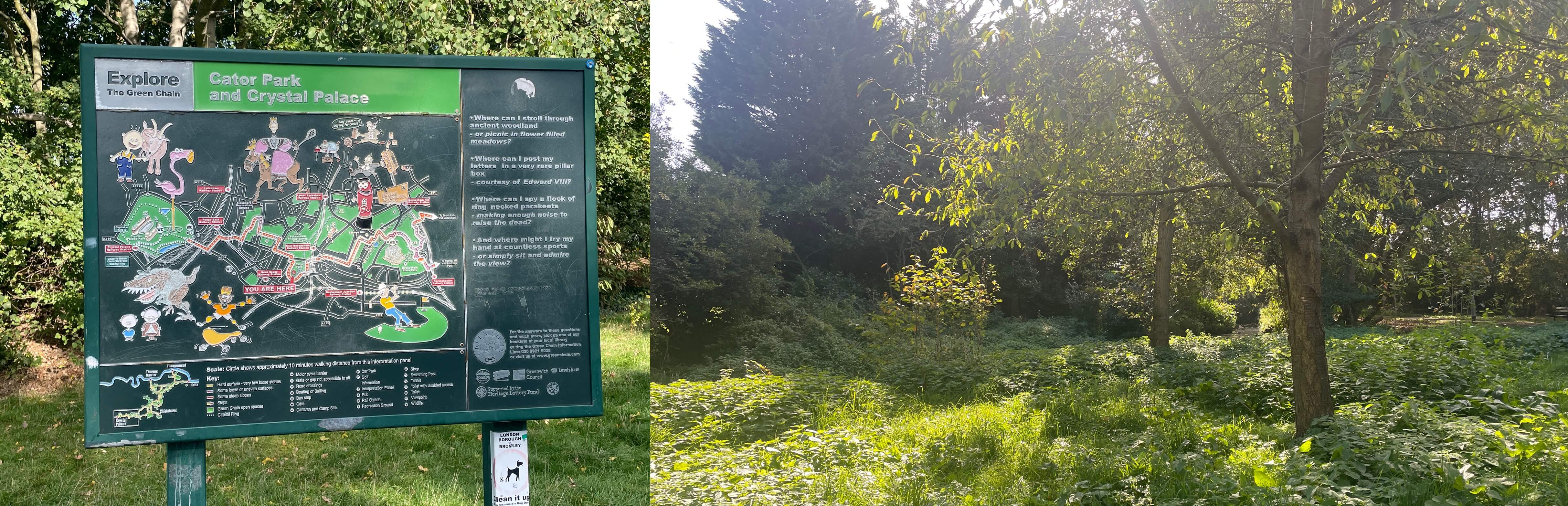
At the southern end, crossing the road you enter Cator Park, which may be familiar if you have done the Capital Ring Walk. This park is the southern most tip of the CR. For the CMHoL though it is still some way off the most southerly point. We crossed the nice park and exited at the southern gate, across King’s Hall Road and past a true requirement of every section – yep Allotments! And between railway tracks and through tunnels. It was here that we passed a woman holding a large coffee cup, so we stopped her to ask where we could acquire one, she directed us up to Clock House Road Station and ShotSmith’s Coffee.
This was a great find and marked on the PDF so that you too can head there should you need a caffeine boost!

With drinks in hand we set off down Sydney Road for Churchfields Rec Ground – Google Maps says there is a direct route through the southern end – but there isn’t. Instead take to the road and then turn left into the drive into the Nursery School, but then carry on past and keep walking until you get to Maberley Road Field.
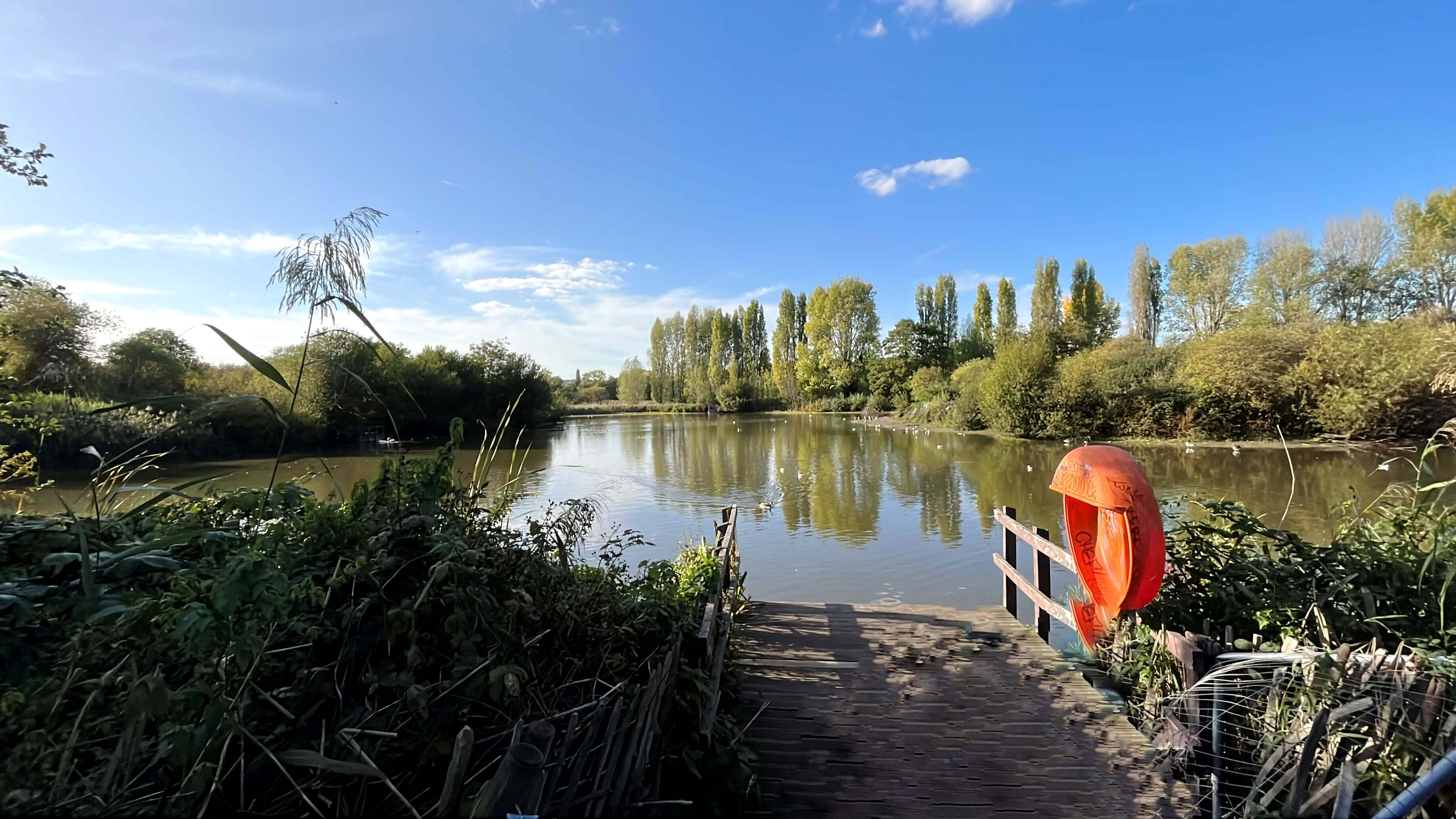
Wander through this and out onto Ancaster Road and then at the end South Norwood Country Park. This large reserve has a massive lake and a lot of green spaces, with indication of a lot of wildlife. It’s just-
1- Very confusing with paths leading around in loops and dead-ending
2 – Mostly shut down – all the facilities, toilets, cafe’s playgrounds, mini golf course are permanently shut, making for a desolate, overrun place with little to do.
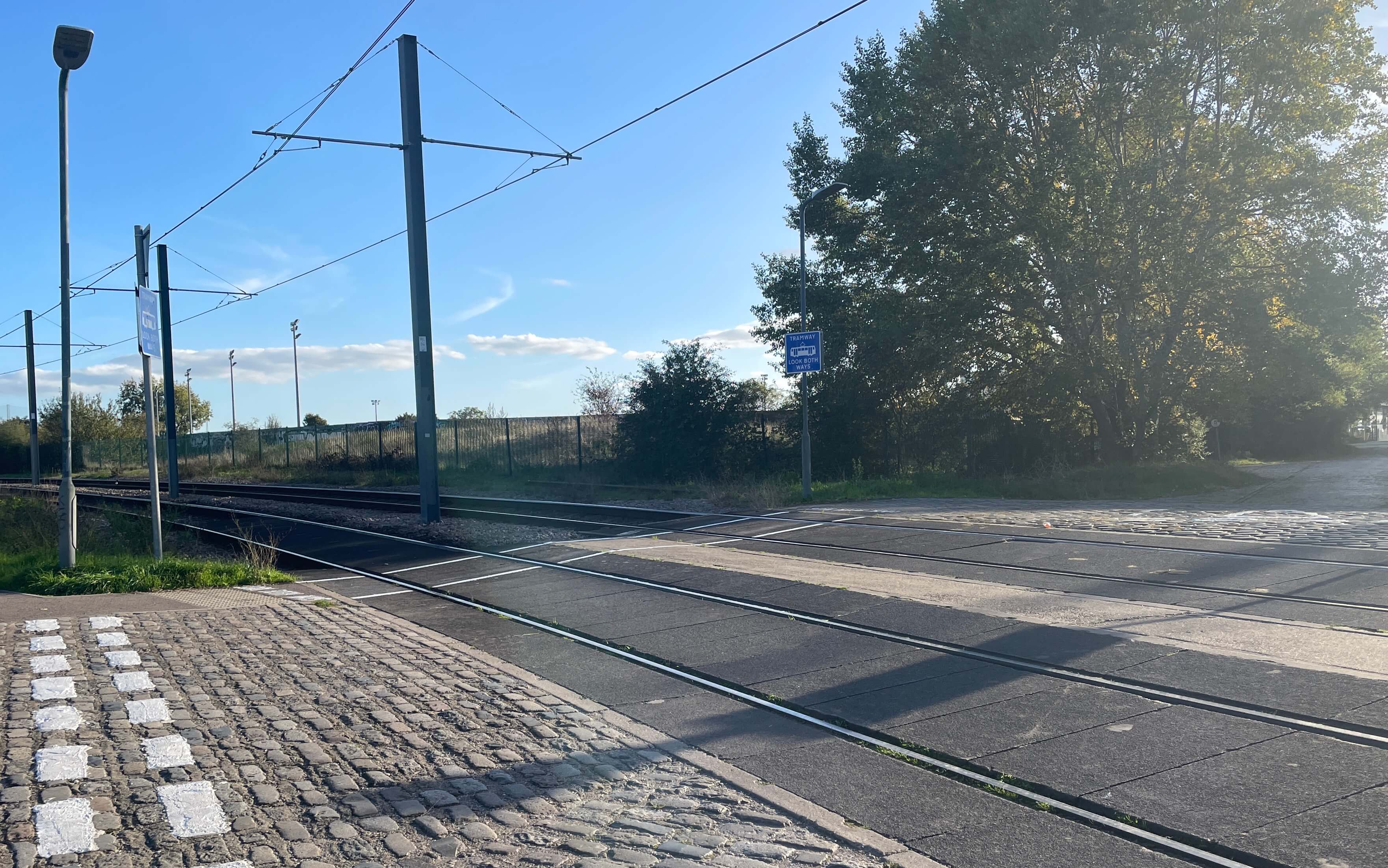
At the SouthWest Corner you cross the first of many Tram Lines, we have never been on a Tram, but one thing to remember is that Trams don’t stop for anything, people, animals or even cars on the track with be run over, so take care when crossing.

Passing Croydon Football Ground (Which is surrounded by a huge net – which we thought was a prison at first) keep heading Southwest along residential roads, cross Spring Lane and enter Ashburton Park (briefly) this is not the nicest park and so stick to the righthand edge and around the tennis courts to get to the tram station.

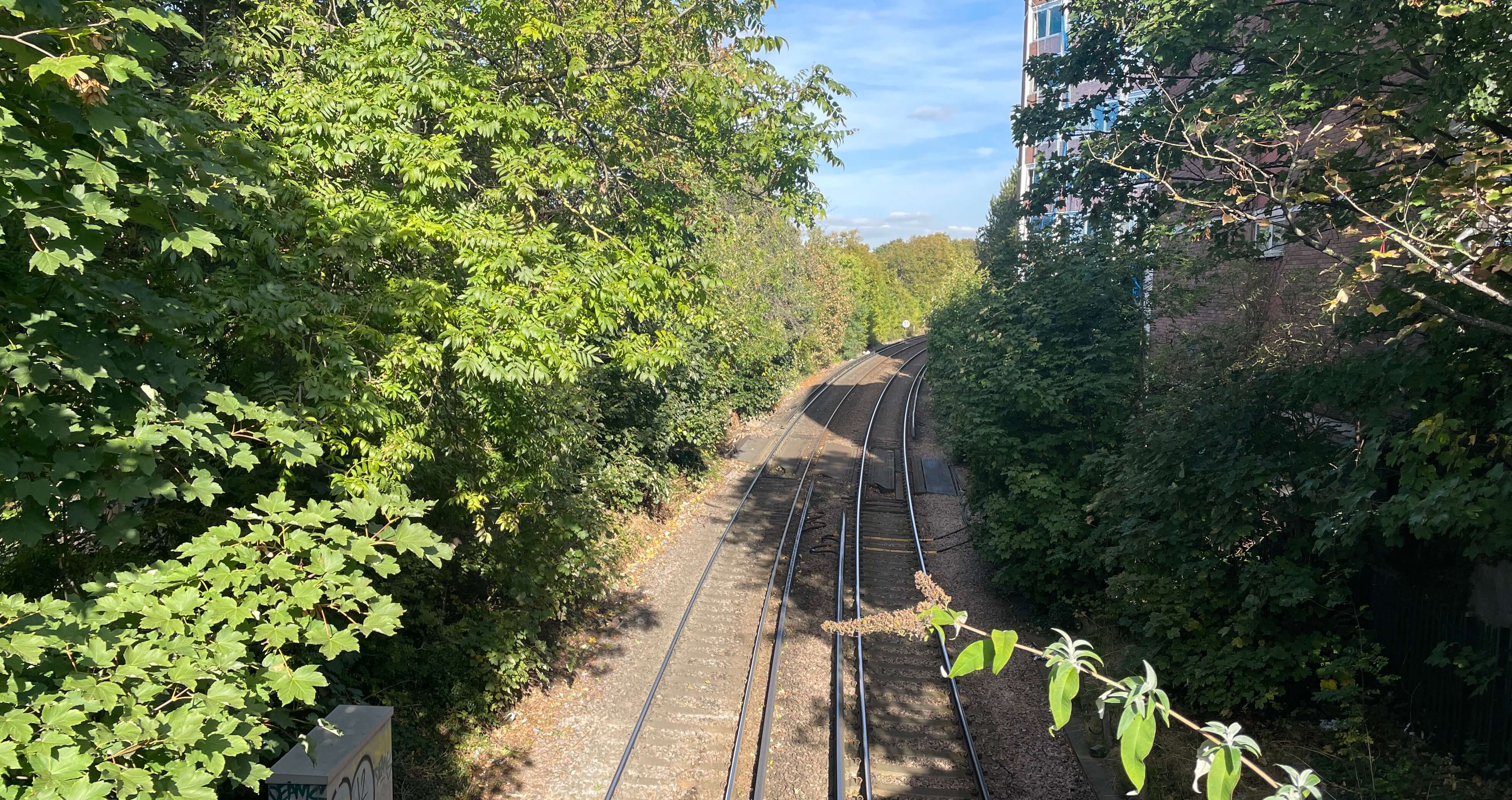
It’s all dead-ends and roads that don’t go anywhere here, so cross the bridge and head along Elmer’s road and follow the map to get to Addiscombe Railway Park, a former railway track, turned into a nature trail, is a lovely, straight path, with a lot of nature all around it.
The path runs out in to St. James’s Road which is taken mostly west until you cross more railway tracks and turn down Landsdowne Road and Bedford Park to emerge after 10 minutes or so, onto A212, cross this and head for the end of Section 11 at West Croydon Station.
Well there we go another section of the Heart of London Walk and a mixed bag of a route! We will be back on the walk in a few weeks with Section 12 (the halfway point!) So come back for that and if you are walking the route, do let us know! If you want to try the route head over to the CMHOL Page at the top and download each section’s PDF to follow along. Remember to take photos and post them #CMHoL to Social Media so we can see them!

