We are back again on our walk, it’s been been a year since we actually walked this section, so we are trying to catch up a bit or we fear we will forget the details of the sections (hence a post every two weeks recently).
This time Richmond to Southall Station. Here’s what to expect.
Back in what is possibly our favourite part of London – Richmond, except for the Airplanes constantly overhead in their descent to land at Heathrow Airport.

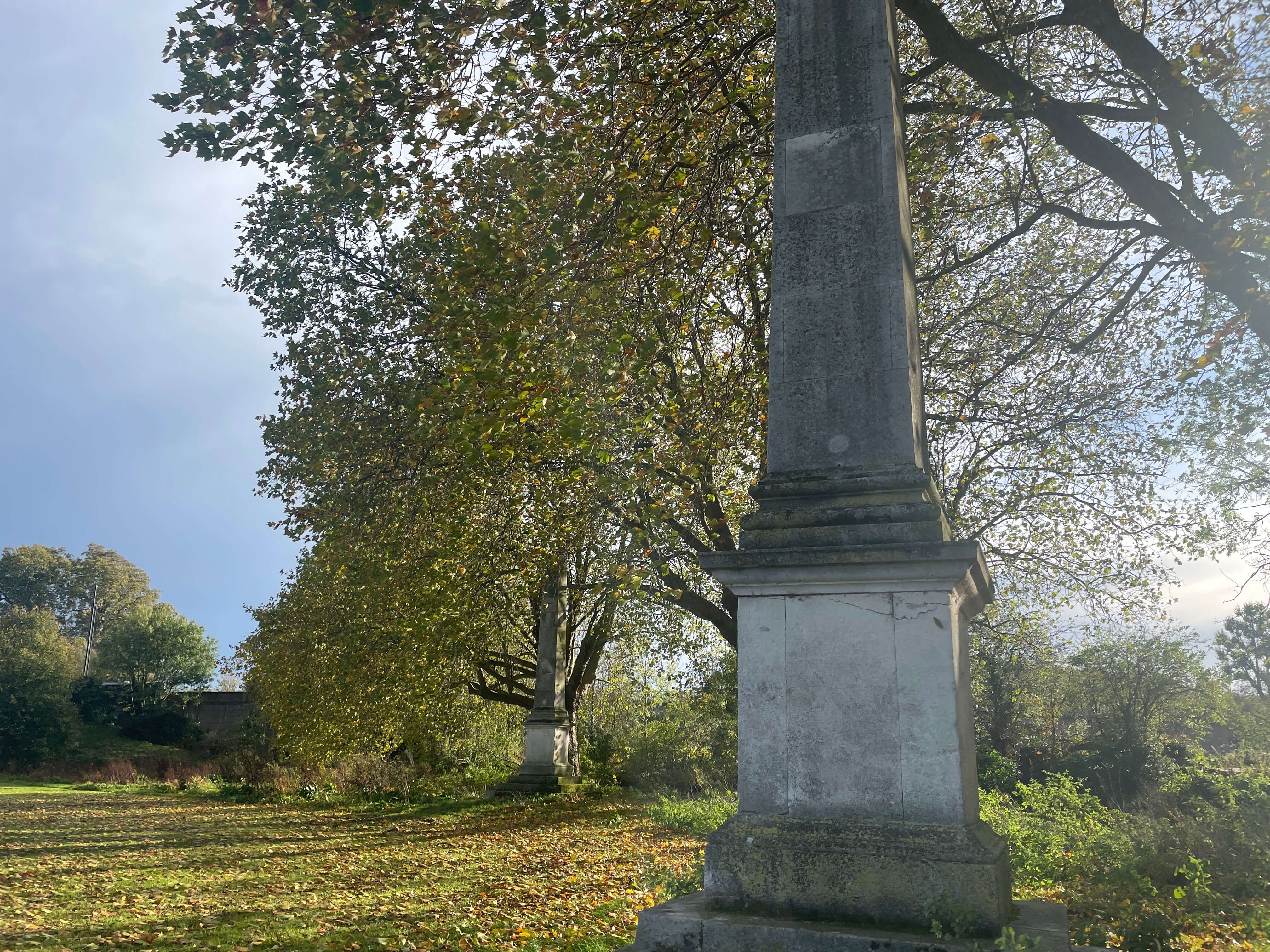
We started off as we did when we walked the Capital Ring, at the Station and headed first for Little Green before taking the side road (Park Lane) towards the Twickenham Road and the Old Deer Park. We made the route go this way simply because the old park has a marked Obelisk and we do like a an obelisk on the Heart of London Walk!

It was a bit of a let down, being so small and worn out, but in the corner nearer the river are two much better examples of Obili/Obilelixeseses? That are not even mentioned on Google, a travesty!
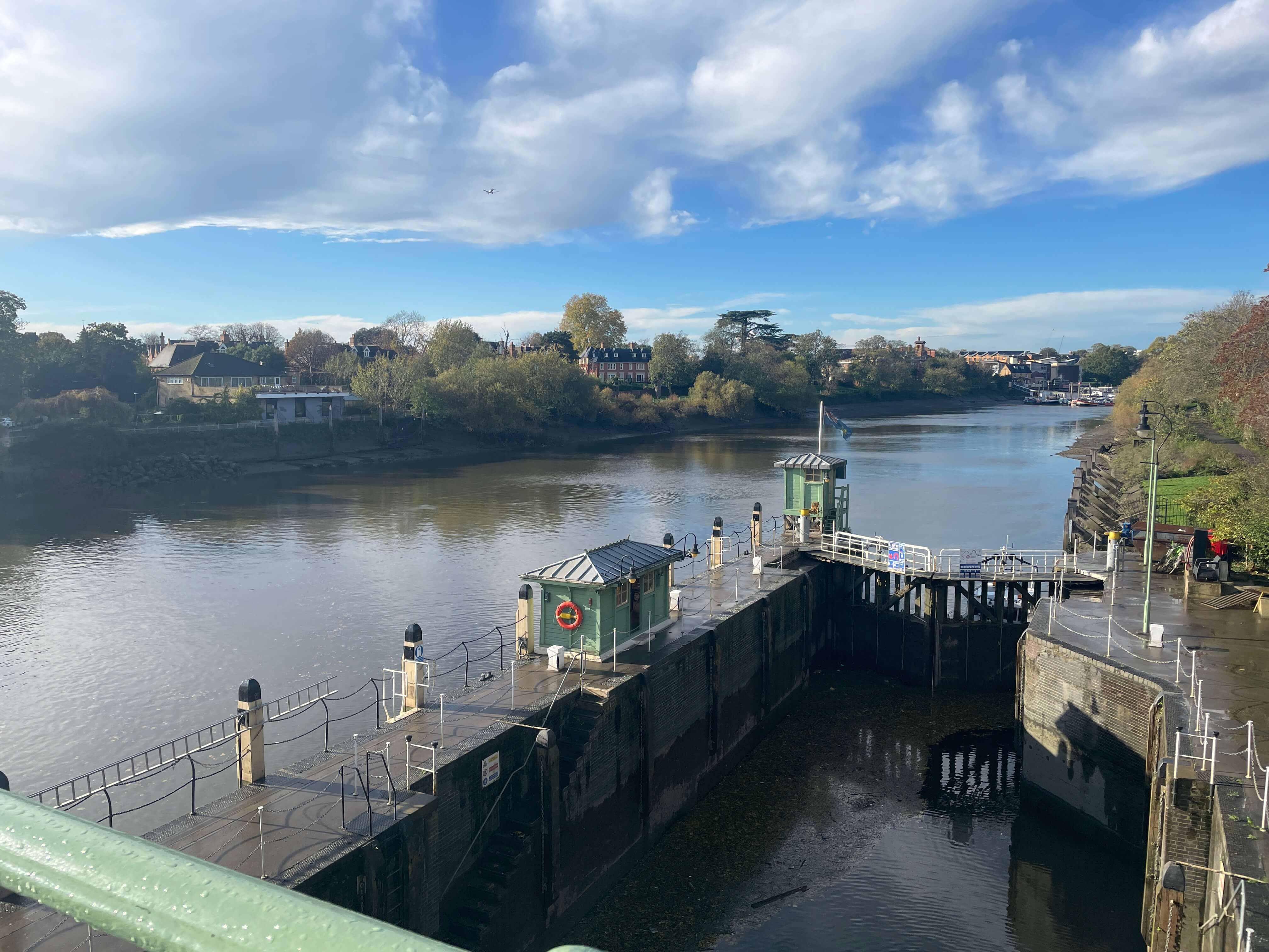
Crossing the little bridge over the stream and onto the footpath alongside the river. We follow the path up to the Lock and Weir. This is the only part of this walk to follow the Capital Ring (and only does so for about 300m). After crossing over the water and following the footpath on the west bank for a short time we turned away from the Thames and into the private road (Chalmers Way). Then out onto a main road and heading west down Talbot Road.
At the end of the road is a pub The Victoria – we recommend not going in there for a break or to try to use the toilets, unless you like being shouted at and told to F’Off! Instead continue along the road towards Redlees Park and there is a library just along the road you can use and not be abused!
Once relieved cross the park and exit via the Northwest corner, where a path leads up along the side of the car dealership. At the main road tun left, cross and find another alleyway – this gives a quieter route rather than following the busy main road up and around Wheatley and Unwin Roads.
At the top of Unwin there is the most over hyped park name we have found – Epic Park is anything but that, it is a rundown swing park and a patch of grass. But at the top is a bridge over another interestingly named sight. The Duke of Northumberland’s River – is this the longest river name in Britain? A fast flowing waterway bends around the EPIC PARK! here and we stopped for a quick game of Pooh Sticks before carrying on North up Woodlands Rd. At the top is another pub – we didn’t chance it, but this looked rather nice.
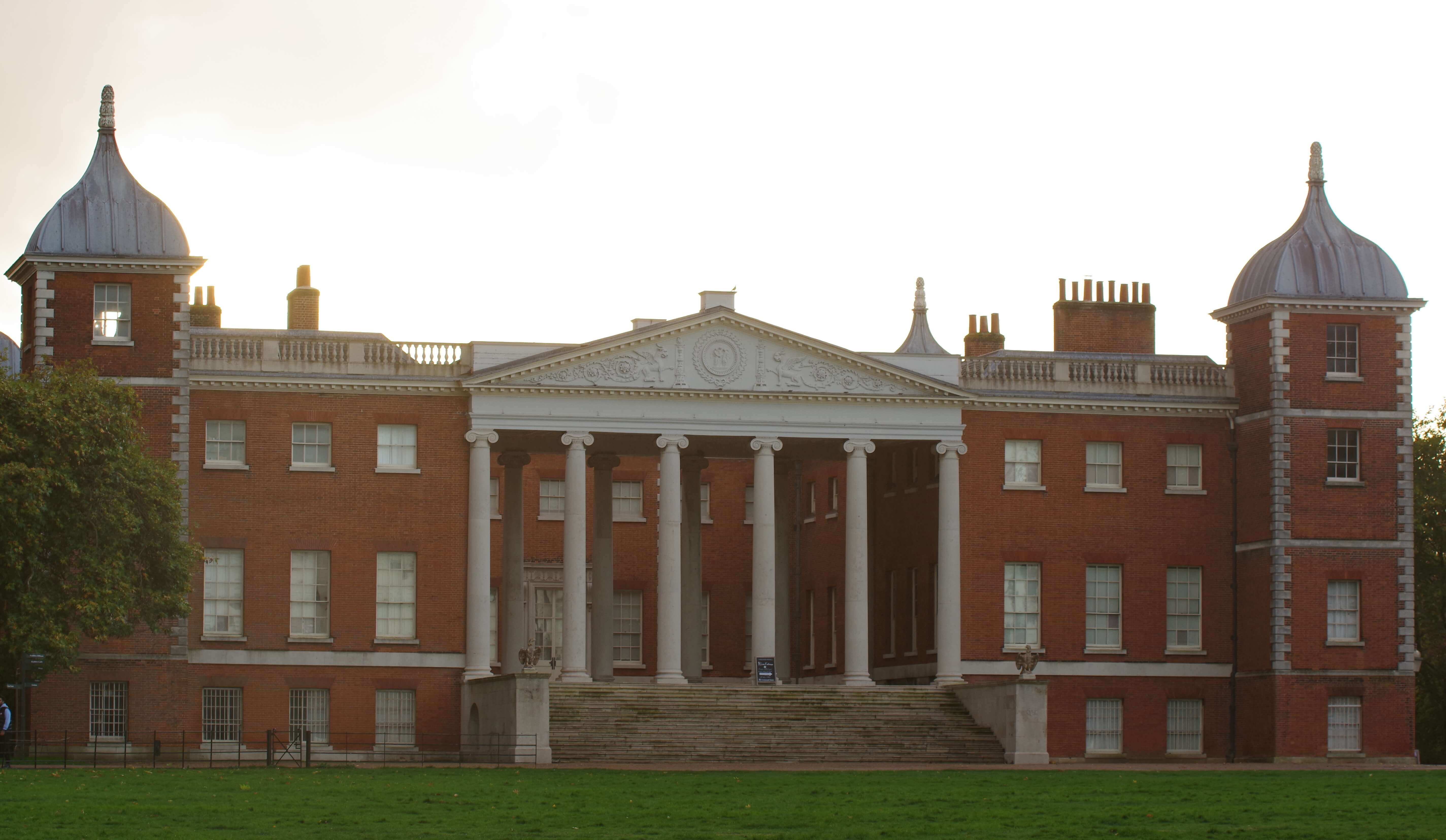
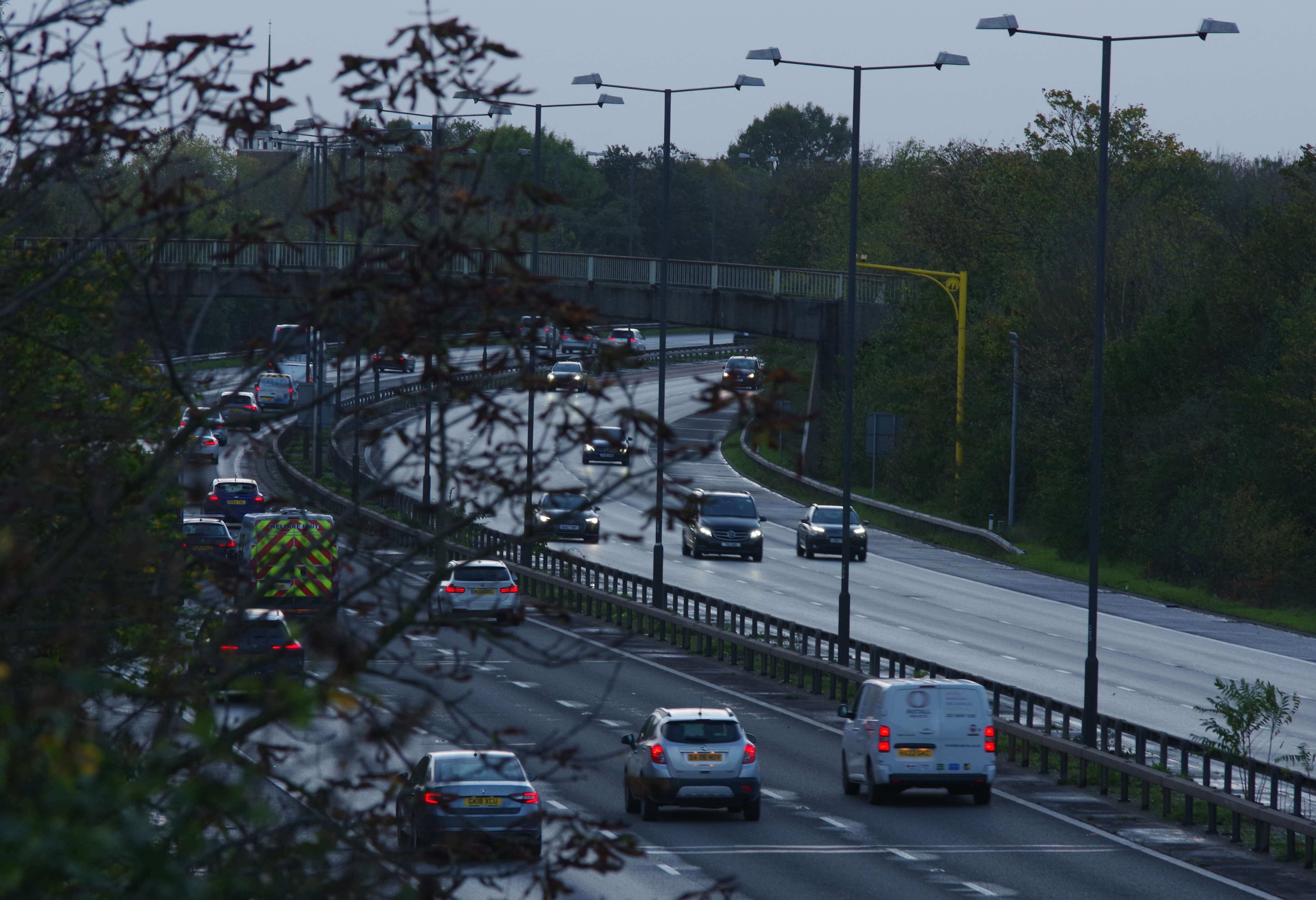
Turning left on the main road and start a long walk along busy roads and residential streets, while the planes get lower as the pass overhead. Osterlery Road is quite nice and the church at the top is quite impressive. At the end you find yourself on the A4 Great West Road, it is loud and hectic, but you only have to cross at the crossing and head up Thornbury Road and all is quiet again and you are soon into Osterley Park and House.

A grand National Trust House and grounds with a long straight drive alongside fields with livestock in them (at times). Follow the road and circumvent the ponds and paths, passed the house and the Stables (nice coffee shop if it’s still open when you get there) and keep walking west following the track to the western exit and out to cross over the M4.
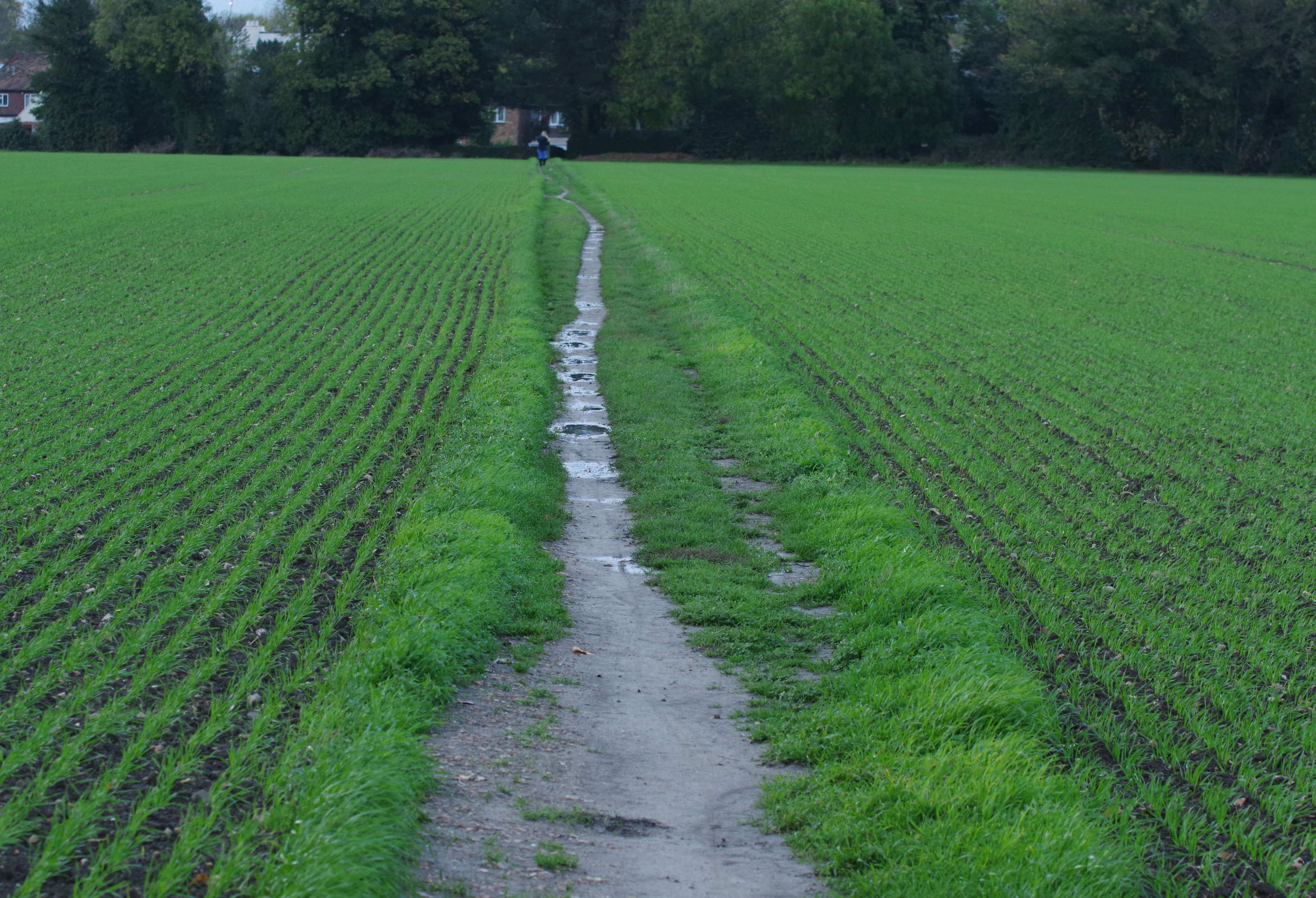
Now here there are two routes, straight across the farmer’s field or around, both eventually end up at Norwood Green and then you simply follow the A3005 for a long, not terribly exciting walk to Southall Station. In hindsight and as stated on the PDF (downloadable from the CMHoL Page above) we would recommend instead that you get the 120 bus to the station from the green and save the boring walk (if you feel like it!)
Well there you have it another section for you to take on and if you do, please remember to take photos and tag them on social media with the hashtag #cmhol so we can see them! Until next time…

